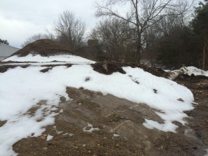
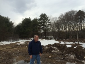
The prep stage for any project always seems longest – but it is where a project is made or broken. This past week or so the foundation was marked out at my house site and then the last of the topsoil was removed – bringing forth a dome of rock ledge right below the surface across a very large portion of the site. We had suspected that this would be the case by looking at the geology and folds of the ground when I first bought the property. That was a major thought process in my head when I decided to go with concrete piers and elevate the house – instead of a conventional basement. Go with the site instead of fight it.
My dad and I were over this weekend looking at the site and it has definitely changed. The entire hill area was rock ledge under a narrow coating of sandy topsoil – that soil has now been removed as of this weekend. The rock ledge humps up out of the ground at the common driveway, dissappears (where I put my septic system) and then reappears where the house is going to be (all the photos in this post), dissappears for about 20′ and then reappears and meets up with pages brook. There probably was a natural small waterfall on the site in colonial times and was the reason that a mill was established so early in the town’s history (1660 actually being very early in the Massachusetts Bay Colony history since Boston was founded in 1630).
My dad did some research and we think this a portion of the Gneiss that makes up the local Nashoba/Shawsheen or Fish Brook Gneiss formation(s) in the local area. The literature on the geology around here seems to spend at least 1/2 the time talking about which geologist has name rights – lol. Gneiss is a metamorphic igneous rock (ie – from the mantle/core instead of laid down like sandstone or limestone) and according to the blasting folks, the species in Carlsle is HARD (ie – shaping it with explosives is more expensive than normal). It is also extremely interesting looking up close and the “banding” at my site is very, very interesting. Gneiss on Wikipedia – look to the section on Scotland for the banding that is similar to my site. Hopefully things will be easier to photograph when the site is cleaned up or I will do a false color overlay.
On to the pictures!
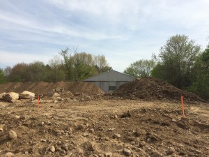
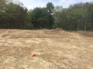
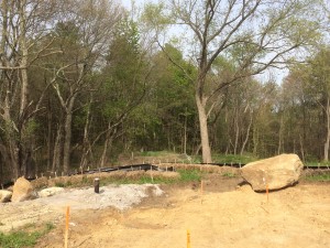
Note – in the photo above of the well head – directly behind this on the other side of the silt retention hay bale retention system is the rock ledge over by the old dam. When I bought the property, this rock ledge was the only rock exposed. We guessed the rest of the rock system was there by the lay of the land and my Dad using some of his archaeology tool kit to probe under the topsoil (ie – hammer steel rods down in a grid pattern and see when/if you strike something. He did and it was pretty consistent, so we assumed rock – 100% on the money!!)
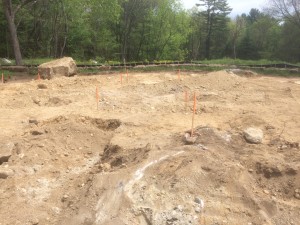
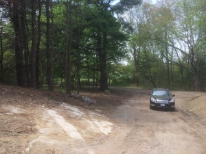
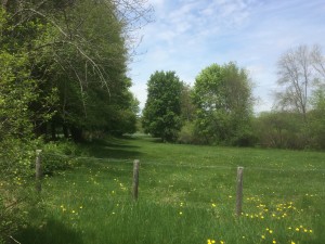
If you read my post on the old mill operation at my property – this area here is part of the field complex that would be flooded in winter and folks used to ice skate on the flooded area.
